No products in the cart.
MEET THE TEAM: Will Berge – GIS Intern
Home MEET THE TEAM: Will Berge – GIS Intern
- Home
- Resource Hub
- Millennium Blog
- MEET THE TEAM: Will Berge – GIS Intern
This article original appeared in our quarterly email newsletter. Not receiving our newsletter? Click here to sign up!
We love writing about our team members because they are an integral part of the work that’s done at Millennium Geospatial each day and we want to let our readers “peek behind the curtain” any chance we get. We recently had a chance to talk to Will Berge from our Field Engineering department about “a day in the life” on his team.
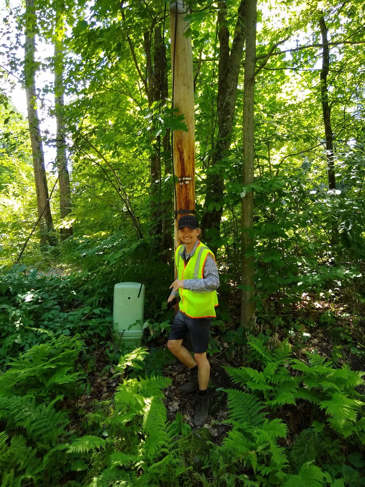
Some people love spending all day in an office. Others have an affinity for working remotely; even if it means logging into Zoom for hours on end. Our team of field engineers mark the days on the calendar for whenever and however they can get outside and work in the field. We recently interviewed Will Berge from our field engineering team about a day in the life working outside the office and in the field on client projects.
Can you share a high level overview of a GIS field engineer’s process?
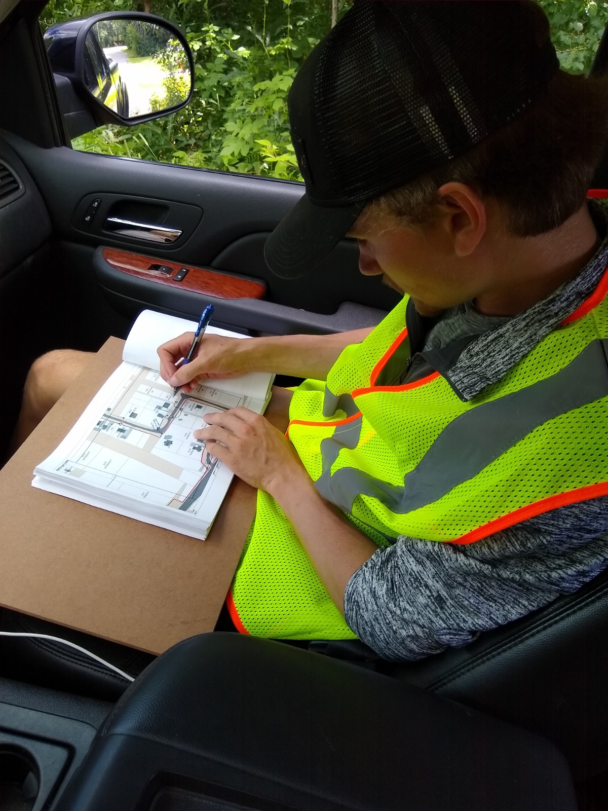
Sure. We kick off our work on a project from the desk. We collect land based data from various public GIS hubs and pull all of that data into ArcPro and put together a preliminary design. The time dedicated to this piece varies depending on the size of a project – anywhere from a few days to a few weeks. The last thing we do before going into the field is create maps that “live” in the cloud. We refer to this piece as “high level design”.
While our first steps can be handled by working with imagery and data from the office, our next steps require us to head out into the field to verify what’s “on the ground”. I love this part of the project! Out in the field we use a couple of field apps which are on our phones and tablets. We use these apps to verify information and move data back and forth. There are always changes between desk and field review and of course what we’re seeing out in the field is the real-deal/as it is today, which is important for our clients.
Once field work is complete, we can wrap up the project back in the office. At this point everything has been pulled together and what we call a low level design will now be created. There are several remaining steps before the finished product can be handed off to the client.
You’re working on several projects at any given time, but the common theme that runs through Millennium Geospatial projects is helping clients get broadband to more people. Sometimes it’s faster or better Internet, sometimes it’s simply providing access for the first time. With the massive gap in Internet access that’s been exposed during COVID, do you find the work that you do meaningful?
Yes, the work that we do is meaningful. In our particular area, the work we’re doing is like a mystery or a puzzle and every day we get to go about solving problems that will have a pretty big impact out in the world.
What’s something that you discovered working in the field that you never would have known by just working a project from the desk?
A few things. One is that there is no guarantee you’ll have (Internet) service out in the field. When you don’t, you have to make changes by hand and input the data into the system later.
Another is that there are always changes once you go out in the field to verify data. The data you collected at the office may be of an empty lot and then you get out in the field and find a house has been built there.
Finally, we’re the only people on the team that actually see the work areas and often the actual work being constructed. We get to interface with city officials and contractors. It’s really fulfilling to play a role in our projects at this level.
Will Berge is a GIS Intern at Millennium Geospatial and an avid outdoorsmen. Connect with him on LinkedIn and follow his beautiful photography on Instagram. Learn more about the MGS intern program here!
Interested in reading more about the work our team does? Click here to read our post titled From The Trenches: Real Stories From Our GIS Engineers!


